April 14, 2018 - Flying the Outer Banks |
||||||
This was the tree in our front yard on March 21. | ||||||
And our back porch.
|
||||||
What a difference a few weeks make. The cherry blossoms are peak on the tree in our backyard! | ||||||
It was a nice day to go flying and I had nothing to do, so I decided to head south down to the outer banks. Shortly after takeoff, looking west at Sparrows Point with the Key Bridge on the other side. The Bethlehem Steel mill at Sparrows Point was once the world's largest steel mill and Bethlehem Steel Shipbuilding Sparrow's Point yard was one of the most active shipbuilders in the United States, delivering 116 ships in the 7-year period between 1939 and 1946. But that's all gone now. New business is starting to fill it in -- those huge white rectangular builds have only started sprouting up the last year or two. |
||||||
There used to be a house by that tennis court on Ragged Island. It disappeared a few years ago and so far hasn't been replaced. That's actually a runway running from lower left to upper right. | ||||||
Cruising down the western side of the eastern shore. Always very scenic. | ||||||
Well down the bay, I was amazed at that nice bridge to a little island that couldn't have more than 25 houses on it.
|
||||||
See what I mean? They must know somebody to get that bridge built. | ||||||
Passing by Crisfield Airport (W41). They used to have a beautiful 3,000 feet grass runway open -- perpendicular to the asphalt one seen here. But alas it is closed now. Apparently it was first
shortened to 1,000 feet due to do an obstruction (tree) that is within the safe zone, but in reality is NO FACTOR, and then was closed altogether. One more bites the dust. |
||||||
Passing by some really beautiful abstract art. | ||||||
I was really enjoying this part of the flight. | ||||||
|
||||||
I wonder what the story is on this house and dock. | ||||||
Well, nice secluded location and private beach but the architecture doesn't do much for me.
|
||||||
Sand bar mania. | ||||||
Big sand dunes right on the water. | ||||||
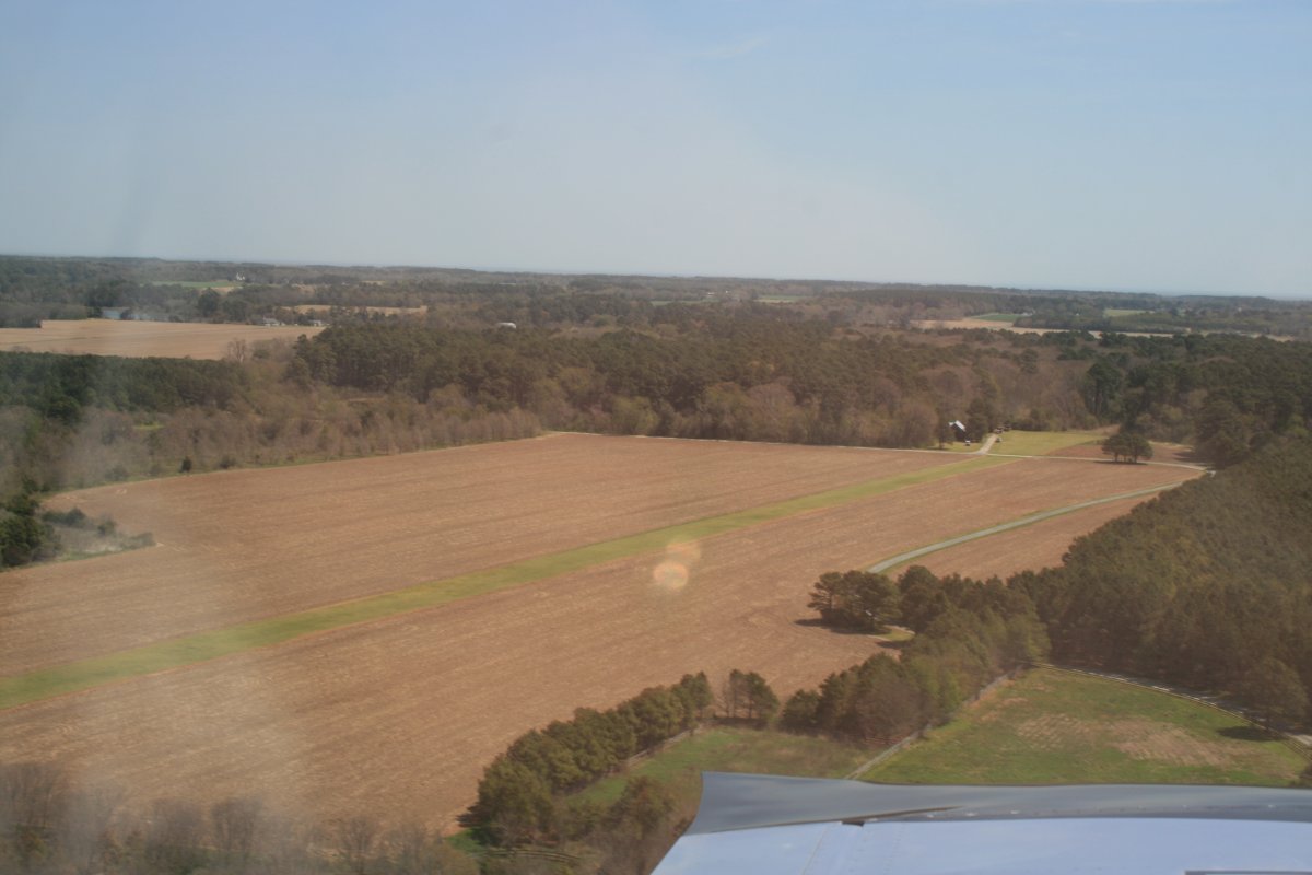
A private grass strip right on the shore. Nice.
|
||||||
Talk about waterfront property! Again, the house is kind of bland. | ||||||
I remember this ships from a flight down here many years ago. I guess they wanted a barrier here for some reason.
|
||||||
This reminded me of my P-3 Orion days, rigging ships. | ||||||
A resort motel at the southern tip of the DelMarVa peninsula. I remember staying here for a little family mini-vacation back in the early 70s. Long time ago. It hasn't changed much.
|
||||||
I bopped up to 4,500 feet to get over the Norfolk Class C airspace. Here I am looking down at Virginia Beach. | ||||||
Looking down at Oceana Naval Air Station. The ramp is crowded with F-18s. | ||||||
Looking down at Dam Neck Naval Station. They do all sorts of training here. I spent six weeks here back in the late 80s and stayed at the BOQ (blue arrow pointing to it). Brings back memories. | ||||||
Currituck County Regional Airport (ONX). I had never seen it before so I went a little out of my way to check it out.
|
||||||
Cruising down the beach, I approached Duck. There is a closed airstrip here -- see below. | ||||||
Approaching Kitty Hawk.
|
||||||
And there it is, the birthplace of aviation. I have been here many times but always enjoy it. | ||||||
Looking down at the Wright Brothers monument. Also, at lower right, is the ramp and runway of the aptly named First Flight airport. | ||||||
Continuing on, there is the big sand dune at Jockey's Ridge State Park, which I always enjoy visiting. | ||||||
Passing by the beach house where we did our family vacation last summer. It is the second house to the right of that big swimming pool to the left.
|
||||||
Civilization ends just south of Nags Head, but I continue on. | ||||||
Bode Island Lighthouse.
|
||||||
Looks like they are building a new bridge over to Pea Island. | ||||||
Cranes on barges. | ||||||
Cape Hatteras claims another victim. | ||||||
Now I think they built this house a little too close to the ocean.
|
||||||
Lots of para-surfers on the bay side. The winds were pretty strong today; I bet they were having fun down there. | ||||||
I turned around at Green's Point and started heading back north.
|
||||||
Those sand bars down there were completely covered with birds. | ||||||
One of our favorite places to go during our vacation: Fish Heads Bar and Grill, at the base of that pier. | ||||||
There is the house we rented last summer. Second to the left from the pool. | ||||||
Another look at the big sand dune at Jockey's Ridge State Park.
|
||||||
Brew-Thru! | ||||||
Passing by Duck. I had a strong tailwind now and was booking.
|
||||||
Currituck Beach Lighthouse. Yes, I have climbed it. When on vacation on the Outer Banks, that's one of the thing you do, go visit the Lighthouses. There is an intesting museum of the Outer Banks in that green-roof covered building. |
||||||
I noticed that there are no asphalt roads for these houses. | ||||||
Civilization finally disappears. | ||||||
But only briefly. I have to climb to get over the Norfolk area airspace. Here I'm passing the Military Aviation Museum and its long, wide grass runway. I hope to go to their World War Two
airshow in May. |
||||||
I took this neat photo of the Chesapeake Bay Bridge Tunnel as I circled down from altitude. | ||||||
Why was I circling?
|
||||||
To fly down low up the Barrier Islands of course! | ||||||
In the vast swamp south of Cambridge, this building stands alone. I wonder what its purpose is?
|
||||||
The owner of this house certainly must enjoy solitude. | ||||||